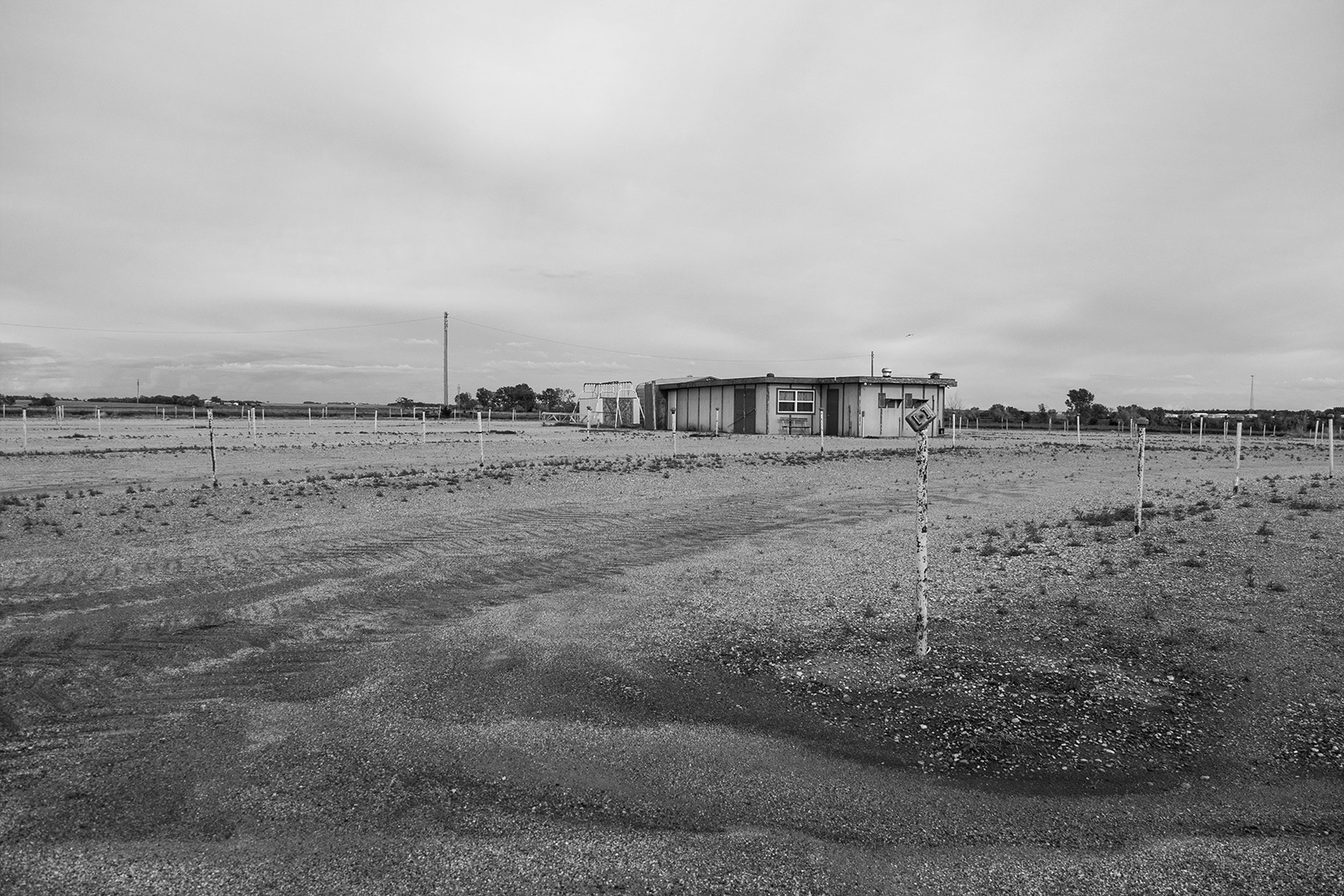
Antler, North Dakota
Above is a photograph of the very small town of Antler, North Dakota. The town is less than two miles from the Canadian border and once was home to a customs house. These days, there is less than thirty people living here, leaving what amounts to a ghost town huddled around the abandoned customs house in a circle. It's a bit eerie.
I've been home a few days, but I wanted to leave a quick blog entry that's as much for my own memory as for anyone following along. I left Minot on Sunday headed north, then made my way along the border, through the Green Mountains, and then south through Devils Lake to Fargo. On Monday, I took a short trip into far western Minnesota on U.S. Highway 75 before battling high winds all the way home down Interstate 29.
Also visited: Minot,
Ruthville, Antler, Westhope, Roth, Souris, Carbury, Strawberry Lake, Dunseith,
Belcourt, Rolla, Rocklake, Clyde, Munich, Starkweather, Garske, Webster, Devils
Lake, Hamar, McHenry, Glenfield, Courtenay, Wimbledon, Leal and Rogers, North
Dakota. Moorhead, Comstock, Wolverton, Kent, Breckenridge, Doran, Wheaton, Dumont, Graceville, Barry, Beardsley and Browns Valley, Minnesota. Sisseton, South Dakota.